Access to the upper Ahuriri River for fishing operates under a Voluntary Beat System. This is aimed to reduce angler encounters and improve the overall angling experience.
How it works
The River is divided into designated fishing beats, with the first beat starting approximately two kilometres downstream of Birch Creek and the last beat finishing near the end of the Birchwood Road. Each beat has an associated access point, where you’ll find a sign displaying the beat name and a map showing its boundaries.
Simply park your vehicle beside the beat sign at your chosen access point and fish within that beat’s boundaries. The presence of a vehicle beside a beat sign indicates to other anglers that the beat is occupied.
If a beat is occupied, anglers are encouraged not to fish upstream of the occupying anglers, but may fish downstream of them, as this water has already been fished. The success of the system relies on anglers adhering to this.
Waratahs with blue triangle markers will be positioned along the river to indicate the start and end of beats, helping anglers identify the boundaries while they’re fishing.
The main river is the only waterway that is covered by the beat system. Tributaries, lagoons and tarns are excluded from the beat system.
Open Reaches
The beat system also includes sections of river known as Open Reaches, where beat controls do not apply and normal angling etiquette applies.
There are no designated car parks for Open Reaches, so anglers just need to find an appropriate place to park and refer to the map for the boundaries. When fishing an Open Reach, please avoid fishing into adjoining beats.
Upper Ahuriri River fishing beats:
An overview map showing all upper Ahuriri River fishing beats is available here.
Individual beat maps are provided below. Click on each image to view a larger map of that beat.
Beat boundaries are also shown on our online Central South Island access map. Click here to view the map.
Select image on right to view in larger format.
|
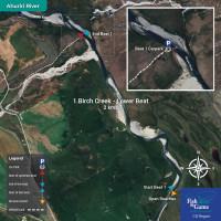
1 - Birch Creek Lower Beat - 2km There is a voluntary beat system on the upper Ahuriri River. To fish the Birch Creek Lower Beat, please park next to this sign and fish between the blue markers indicated on the map below. |
|
|
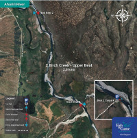
2 - Birch Creek Upper Beat - 2.8km There is a voluntary beat system on the upper Ahuriri River. To fish the Birch Creek Upper Beat, please park next to this sign and fish between the red markers indicated on the map below. |
|
|
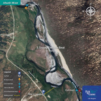
3 - Snowy Terrace Beat - 2.1km There is a voluntary beat system on the upper Ahuriri River. To fish the Snowy Terrace Creek, please park next to this sign and fish between the blue markers indicated on the map below. |
|
|
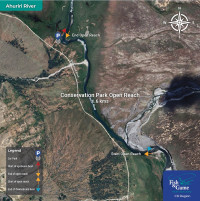
Conservation Park Open Reach - 1.6km An Open Reach is not subject to beat controls - normal angler etiquette applies. Simply find an appropriate parking spot and fish between the yellow markers indicated on the map.
|
|
|
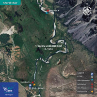
4 - Valley Lookout Beat - 3.7km There is a voluntary beat system on the upper Ahuriri River. To fish the Valley Lookout Beat, please park next to this sign and fish between the red markers indicated on the map below. |
|
|
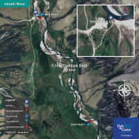
5 - Hay Paddock Beat - 2.7km There is a voluntary beat system on the upper Ahuriri River. To fish the Hay Paddock Beat, please park next to this sign and fish between the blue markers indicated on the map below. |
|
|
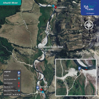
6 - Firewood Bush Beat - 3.2km There is a voluntary beat system on the upper Ahuriri River. To fish the Firewood Bush Beat, please park next to this sign and fish between the red markers indicated on the map below. |
|
|
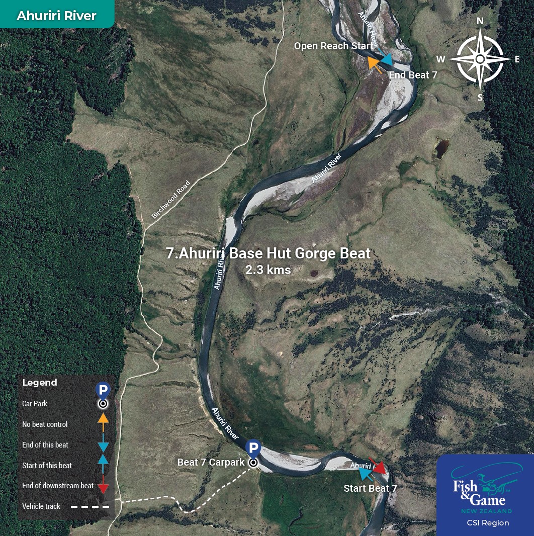
7 - Ahuriri Base Hut Gorge Beat - 2.3km There is a voluntary beat system on the upper Ahuriri River. To fish the Ahuriri Base Hut Gorge Beat, please park next to this sign and fish between the blue markers indicated on the map on the right. |
|
|
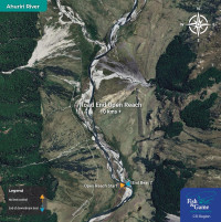
Road End Open Reach - 10km+ An Open Reach is not subject to beat controls - normal angler etiquette applies. Simply find an appropriate parking spot and fish above the yellow marker indicated on the map.
|
|